OPEN GEOSPATIAL DATA → PLAYABLE 3D WORLD
Grow a playable city
from one coordinate.
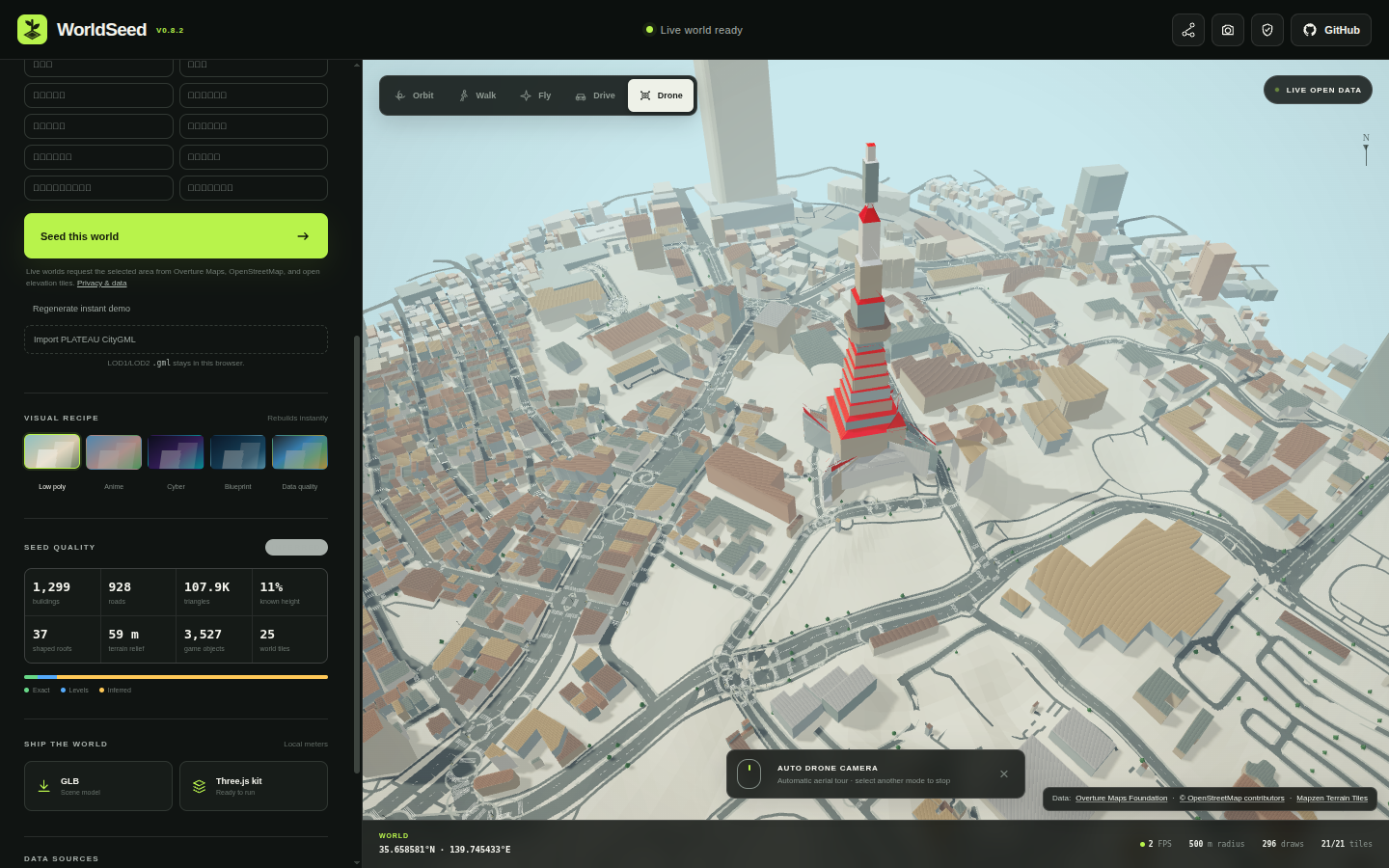
WorldSeed turns public geospatial data into a browser-native Three.js world with terrain-aware roads, buildings, semantic objects, colliders, routes, spawn points, and a versioned export contract.
MIT licensed
Schema v1
GLB + JSON
No signup required
WHY WORLDSEED
Not just a city viewer.
WorldSeed is designed as an open pipeline that other games, simulations, tools, and engines can consume.
Real open data
Combine Overture Maps, OpenStreetMap, terrain data, and optional local PLATEAU CityGML with provenance and attribution intact.
Gameplay structure
Generate terrain-following roads, dedicated junction geometry, colliders, road graphs, routes, and spawn points instead of geometry alone.
Reusable exports
Export GLB plus schema-versioned JSON so downstream tools can consume the world without importing WorldSeed runtime code.
INTEROPERABLE CITY EXPORT
A public contract, not an internal dump.
city.glb
terrain.glb
colliders.glb
worldseed.json
worldseed-objects.json
road-graph.json
spawn-points.json
drive-route.json
ATTRIBUTION.md
schemas/v1/*.schema.json
Schema v1 is independently consumable.
The standalone consumer example imports the public export ZIP only. It does not depend on WorldSeed's internal
src/ modules.
LIVE DEMO
Orbit it. Drive it. Export it.
The Pages build includes the real WorldSeed production app under /demo/.
EARLY ADOPTERS WANTED
Use WorldSeed somewhere we didn't.
Babylon.js, Godot, Blender, simulation, procedural games, validators, converters, and other public integrations are welcome.
Verified downstream projects can be listed in ADOPTERS.md.